78 BURNHAM RD
Owner Information
FAUVEL DAVID P
78 BURNHAM RD
LOWELL, MA 01852


Property Details
78 BURNHAM RD is classified as a Single Family Residential (Conventional).
The primary structure on this property was built in 1955. There are 3,135ft2 of built area within this property. There is 2,176ft2 of residential/living space within this property. This property is listed as having 7 rooms.
78 BURNHAM RD is valued at $417,000. The land is valued at $150,500 and the structures are valued at $266,500.
This property is in Zone SSF. Confirm with local Zoning Board authorities to ensure there are no overlays or other easements on this property.
The most recent deed for 78 BURNHAM RD is recorded at the local registrar in Book 32430, Page 0277. 78 BURNHAM RD was last sold on Monday, September 24, 2018 for $100.
Assessment data from fiscal year 2021.
Flood Data
According to the FEMA National Flood Hazard Layer, this property does not appear to be in a flood zone. It may also be in an area not yet reviewed. Nonetheless, confirm this information prior to taking any action.
To view the flood hazards around this property, create a FEMA "Firmette" Map of the area around 78 BURNHAM RD.
Broadband Internet Providers
| Provider | Type | Bandwidth (mbps) | |
|---|---|---|---|
| HughesNet | Satellite | 25 | 3 |
| GCI Communication Corp. | Satellite | 0 | 0 |
| T-Mobile | Fixed Wireless | 25 | 3 |
| Comcast | Cable | 1000 | 35 |
| Verizon New England Inc. | DSL | 7 | 0 |
| Viasat Inc | Satellite | 100 | 3 |
| Crown Castle Fiber | Fiber | 0 | 0 |
| VSAT Systems, LLC. | Satellite | 2 | 1 |
Broadband service provider data from December 2020.
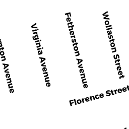
Adjacent Properties
- 77 FLORENCE ST
Single Family Residential owned by MCDONALD DAVID F - 87 FLORENCE ST
Single Family Residential owned by BLACKWOOD KAREN A - 97 FLORENCE ST
Single Family Residential owned by TANNETTA GERARD III - 72 BURNHAM RD
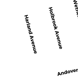
Single Family Residential owned by TRULL ALEXANDER - 888 ANDOVER ST
Vacant, Selectmen or City Council (Municipal) owned by CITY OF LOWELL